We have always been interested in the relationship between sailing and (let’s use the Kiwi word ) tramping.
In the early days of SWS we published an article entitled “Ropes, Boots and Adventure” which began like this….
“In the second-hand bookshops I sometimes frequent, I’ve noticed that the “Maritime” section is often very close to the “Mountaineering” books. It’s not an alphabetical thing. I think it’s just that the bookshop owners believe that the two disciplines have a lot in common, (too much fresh air, an element of danger, isolation, fear etc) and so a potential shopper who is interested in one, might well be interested in the other.”
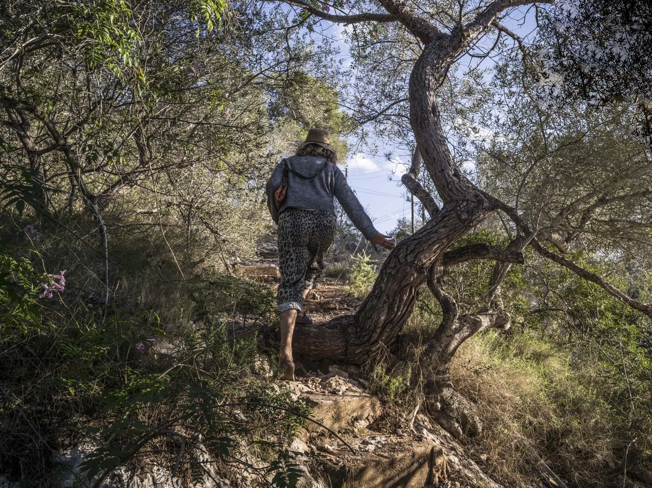
Although it would be exaggerating to say that our summer cruising encompassed any “mountaineering”, we always make a point of scanning each anchorage for the potential of a long and sometimes challenging walk. If we are confident that the Rocna is well embedded in the sea floor, getting off the boat and viewing her from surrounding vantage points is always a thrill. And most importantly it’s a way to break down the barriers between the hermetic life of cruising yachtsmen and women, and the society through which they are travelling. The app of choice discovering these tracks is Alltrails and it’s given us some beauties this year. Here are five of our favourites in no particular order.
Island of Paxos, Greece.
Longos to Lakka Loop
Distance 13km
Elevation Gain 476 meters
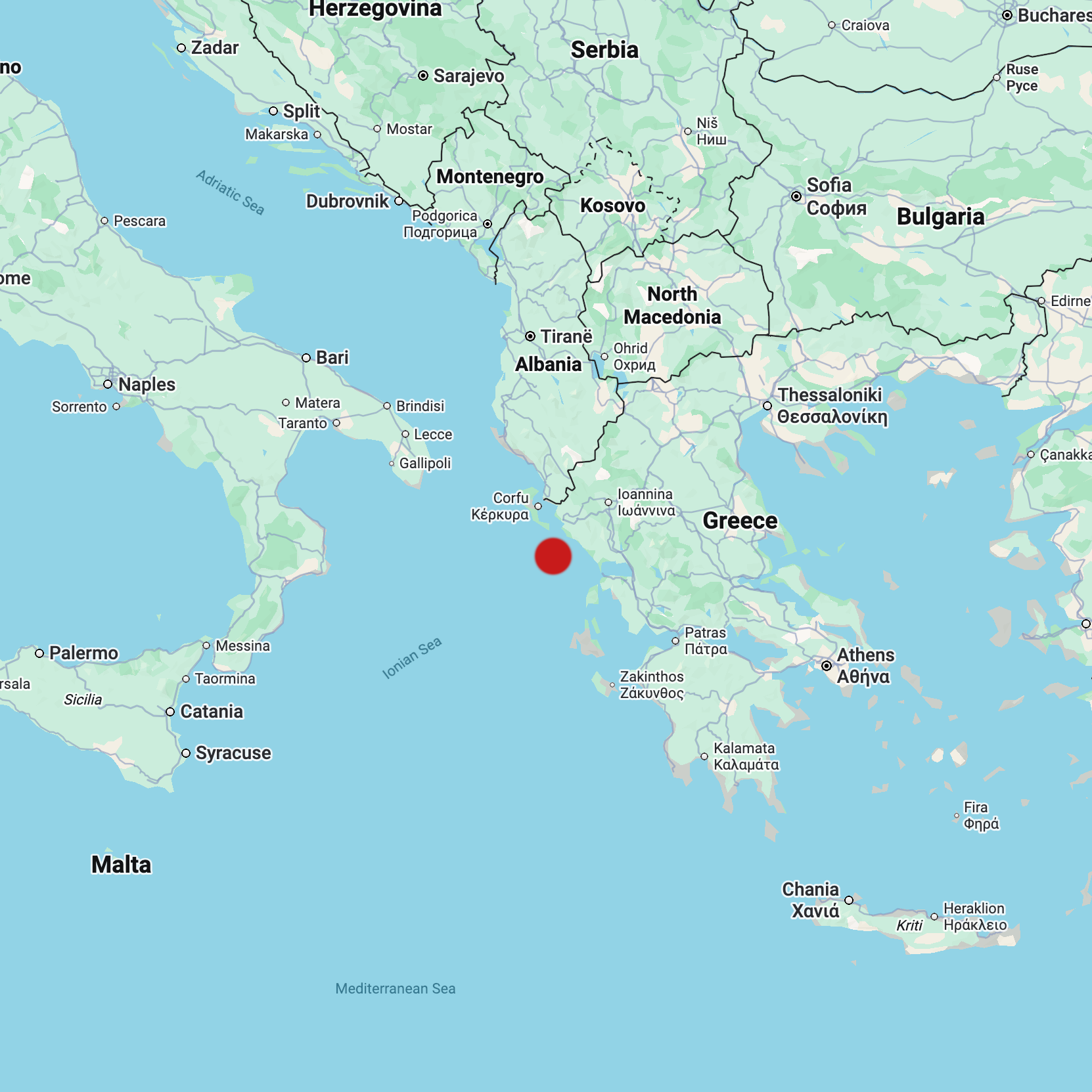
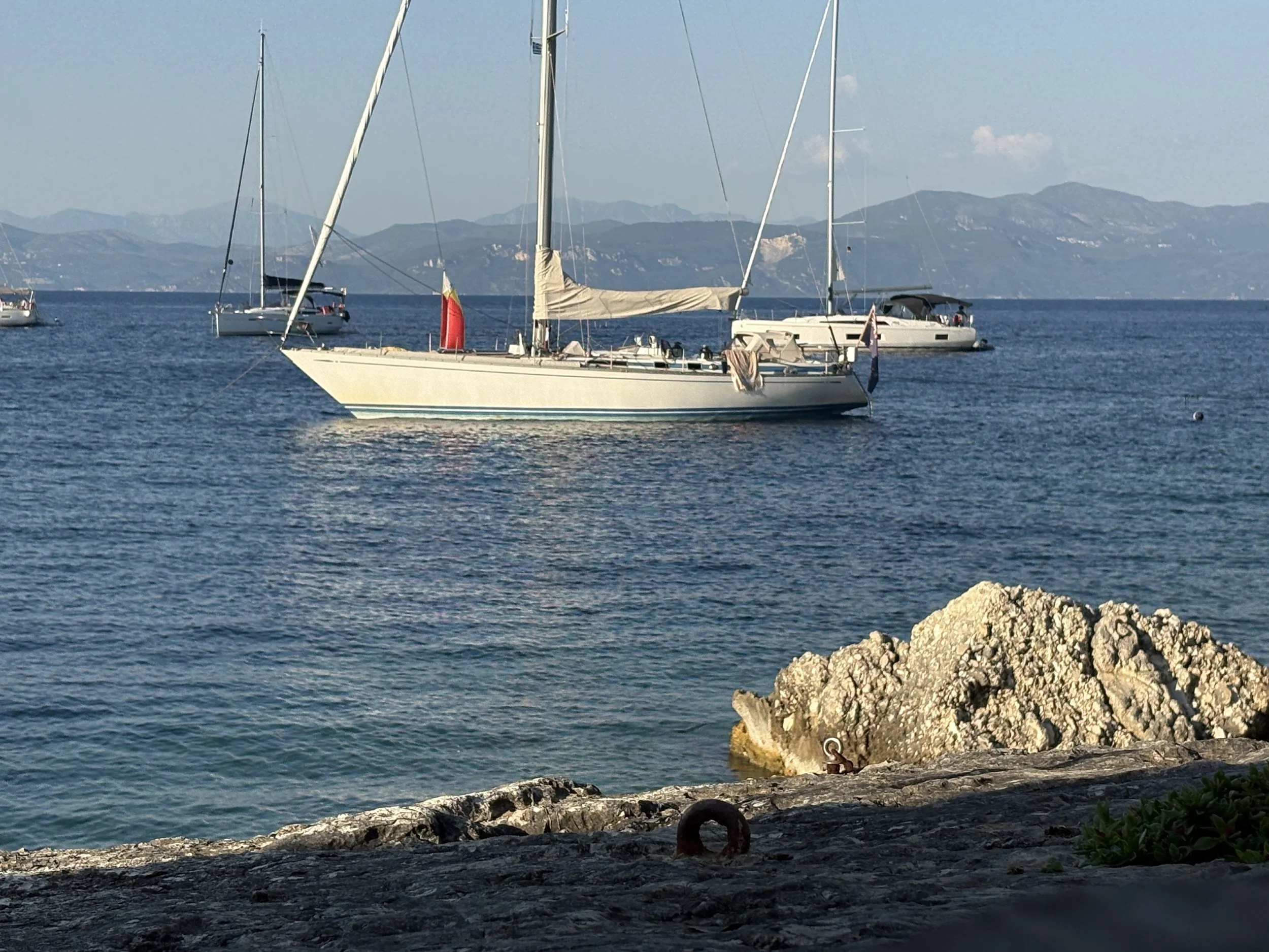
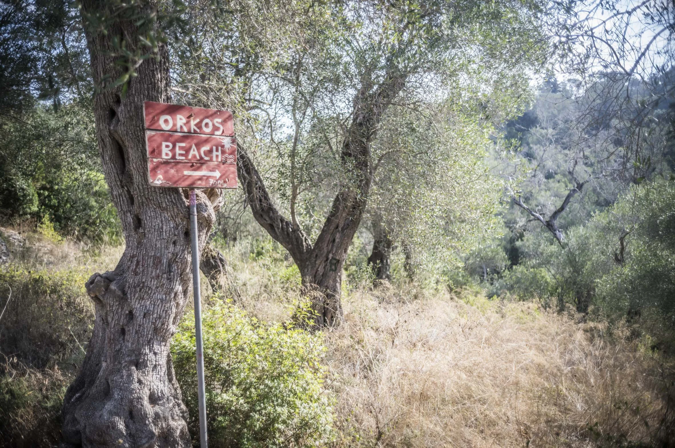
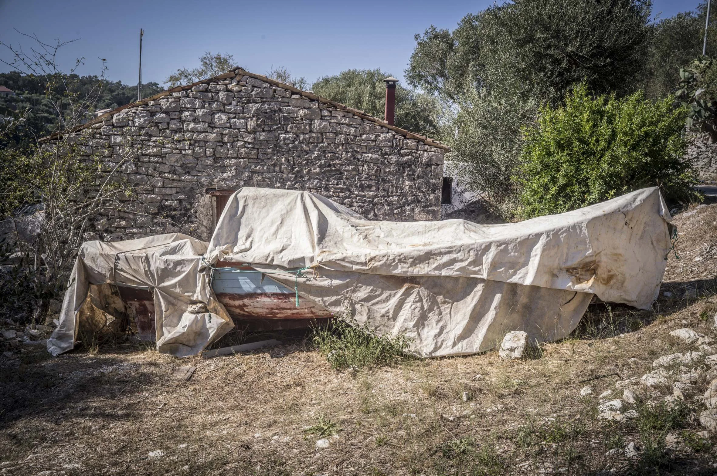
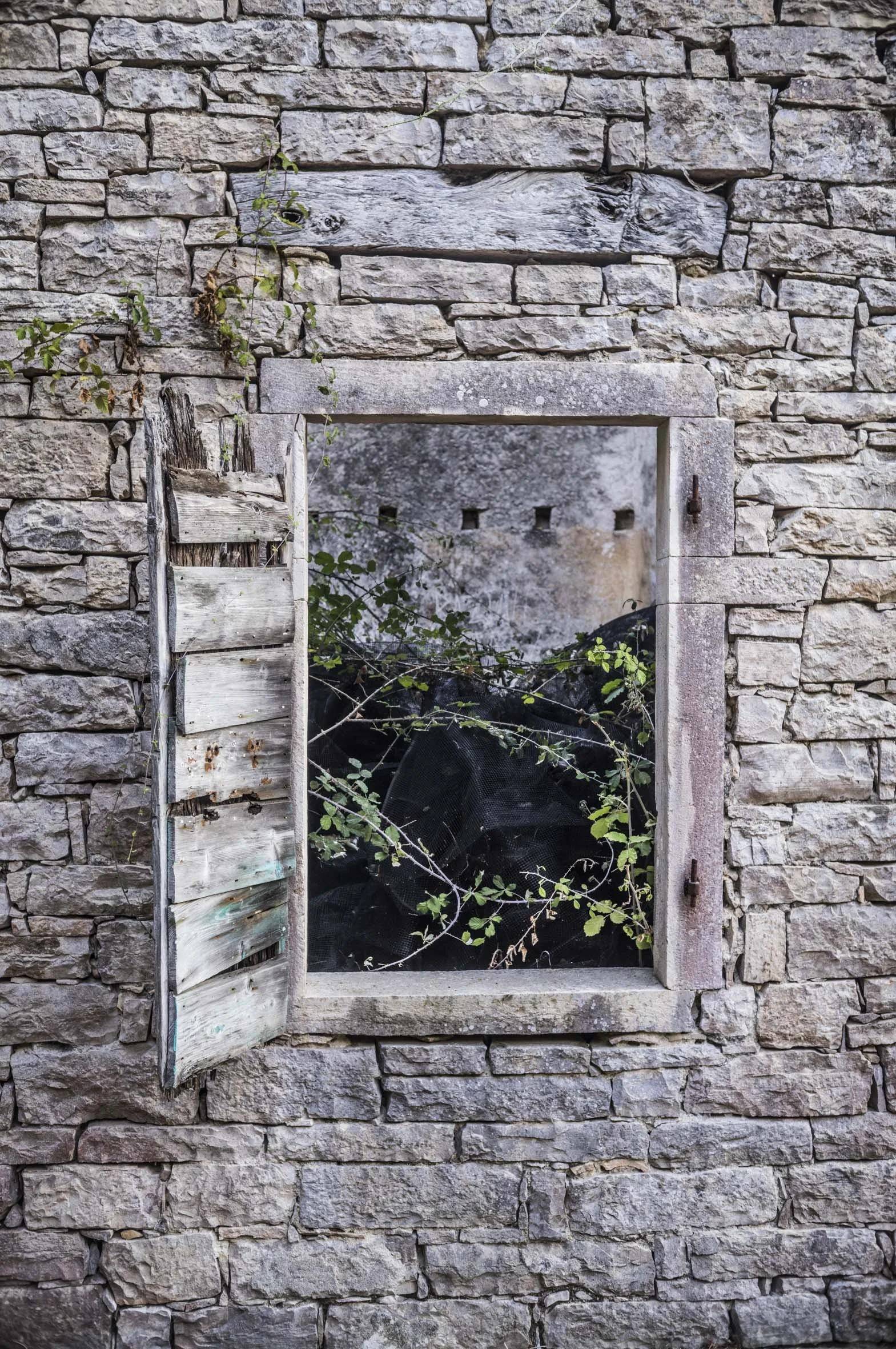
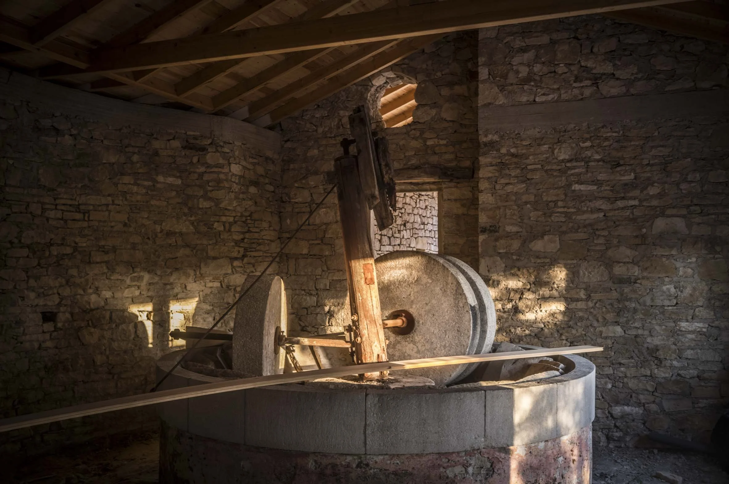
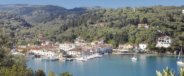
Despite its irrefutable beauty, Paxos an island in the Ionian sea, has its detractors. In July and August it trembles under the weight of British and German visitors, seeking a fleeting escape from their northern European lives, For two or three months, the exquisite Greek waterfront villages on the island, turn on the charm (and the Metaxa) for their visitors, who relish the vicious sunshine. The waterside tavernas serve a standard fare of Kalamarákia and greek salad, with menu boards prominently displayed in multiple languages, but it only takes a ten minute stroll inland before the artifice of the coast gives way to the authenticity of an ancient hinterland. We walked this track in late July, the hottest part of the summer, so we set off around 7am leaving the port town of Longos, heading west and climbing steeply through olive groves and crumbling ancient homesteads. The well signposted trail which may well have been used for 2000 years, then turns north towards the almost fully enclosed harbour of Lakka, which back in the 1980’s was almost untouched, but nowadays is a monument to the pitfalls of the Greek yacht charter industry. After surprisingly good bowl of fruit and greek yogurt at one of few cafes opening early on the Lakka waterfront, we followed the trail as it loops around the harbour and turns back inland. As the day heats up the near 500m climb starts to tell. Settling into a rhythm, it’s easy to forget that Paxos is now a tourist Mecca, and instead I imagine the fleets of Mark Antony and Cleopatra, desperately fighting, and losing the sea battle of Actium just over on the eastern horizon. Once back at Longos harbour, after a short row out in the dinghy, the rush of Ionian seawater as I dive off MATILDA’s transom makes the morning’s exertions so worthwhile!
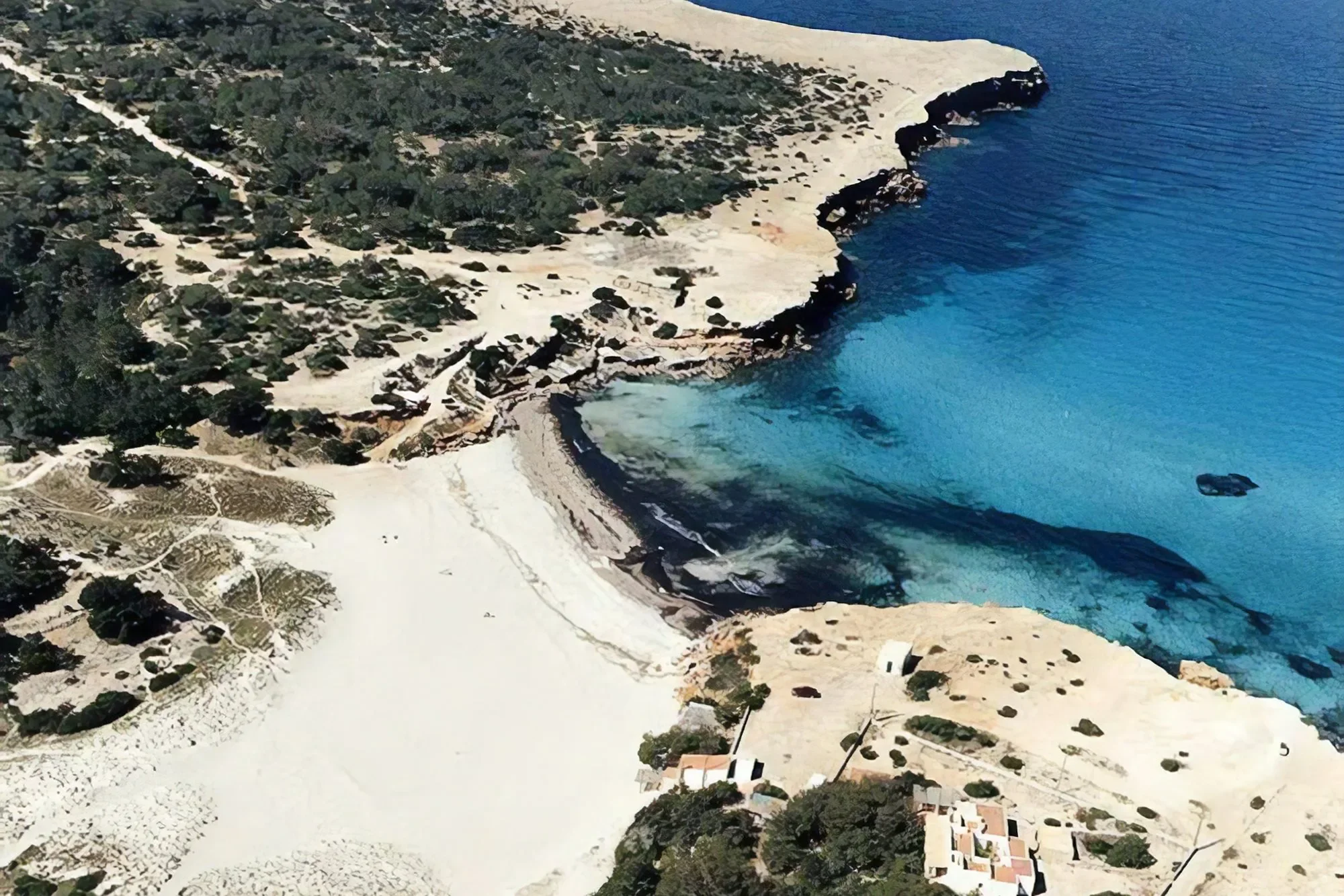
Island of Formentera, Spain.
Cala Saona to Sant Francesc Xavier Loop
Distance 8.2kms
Elevation Gain 110 meters
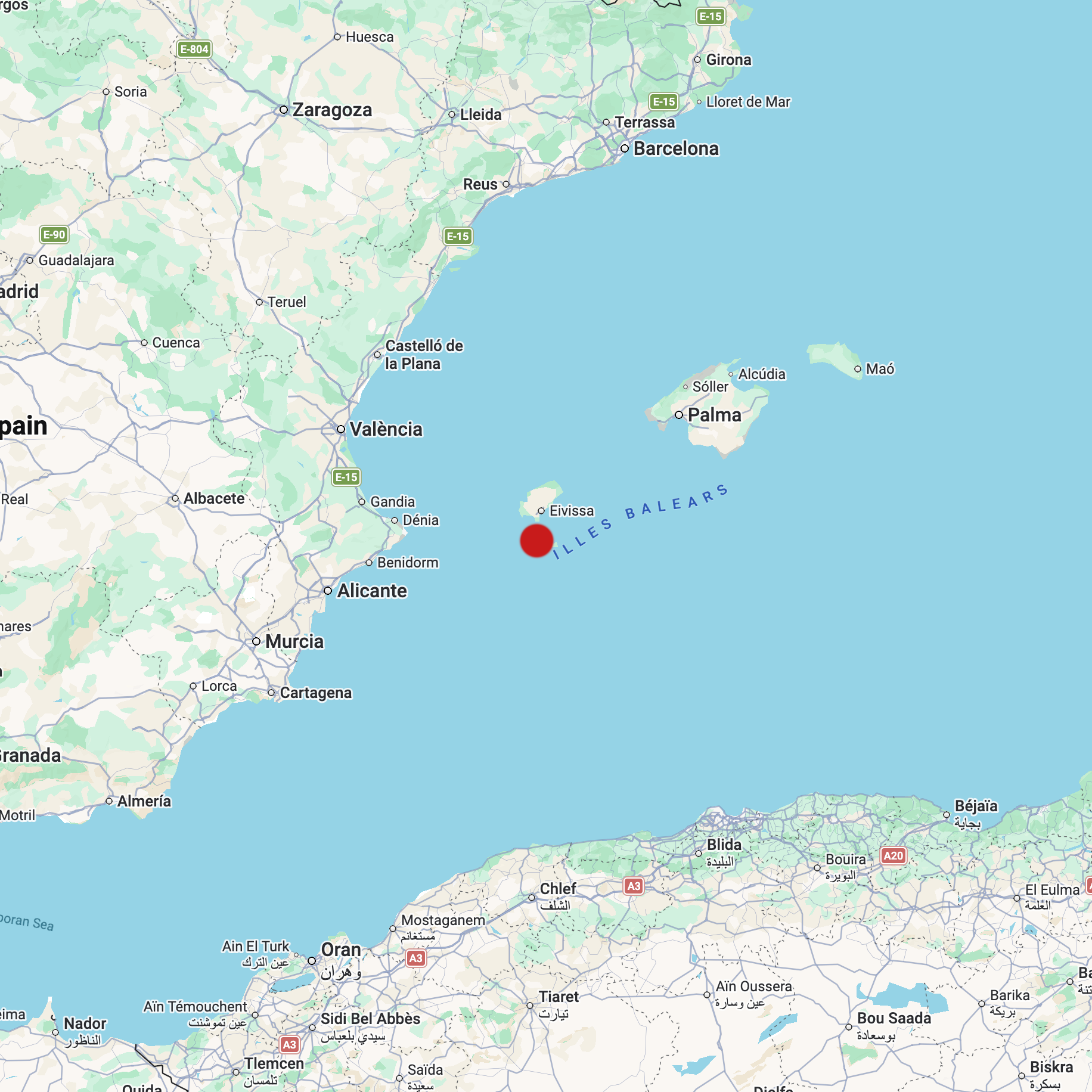
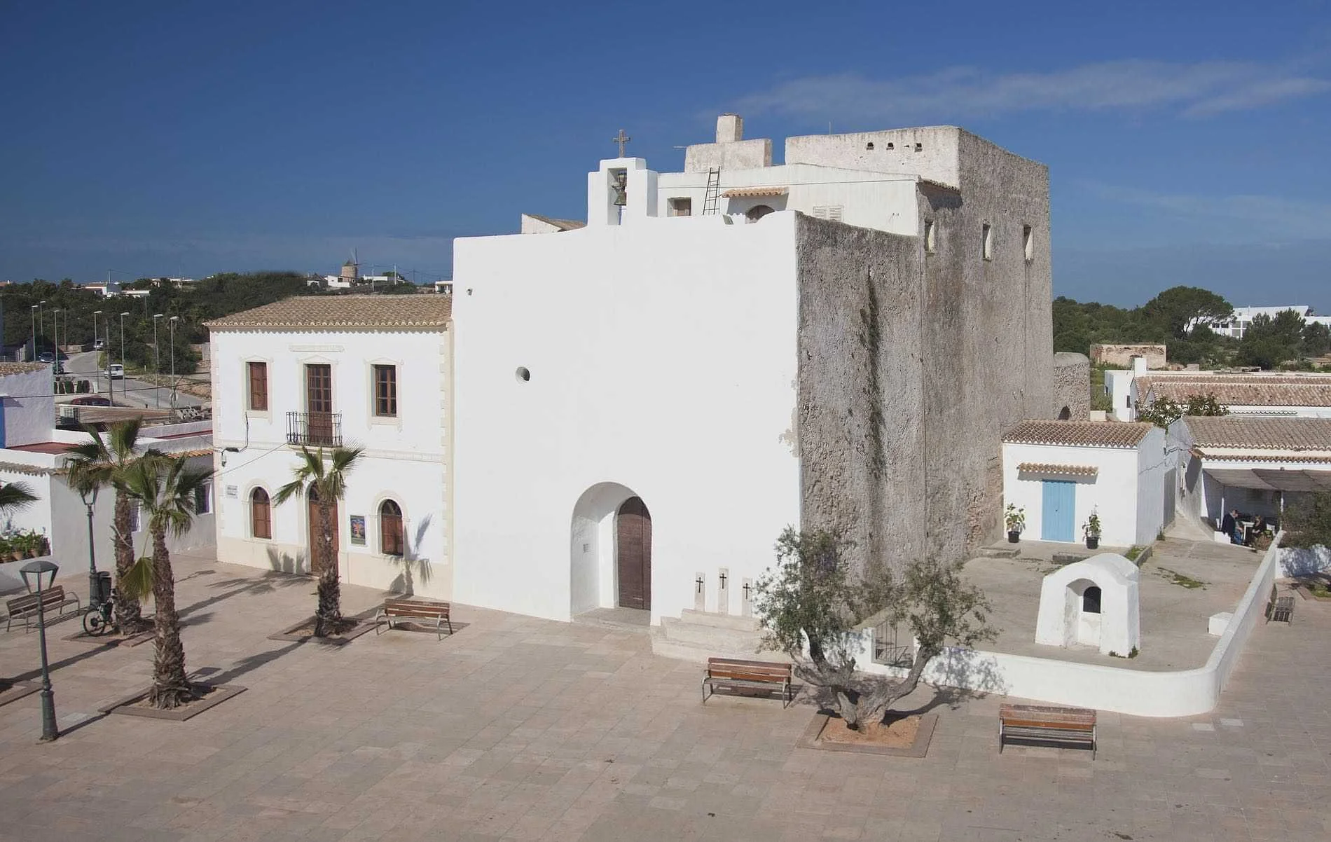
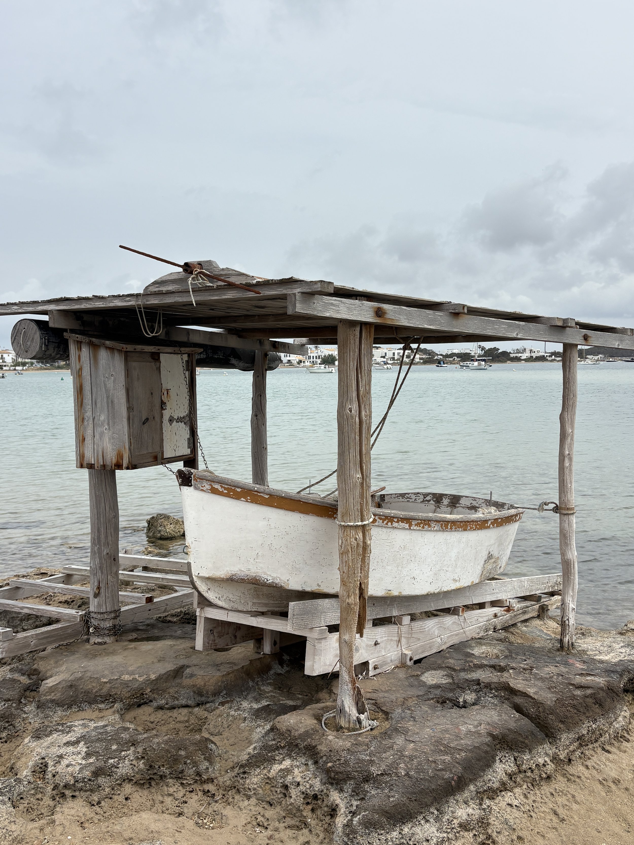
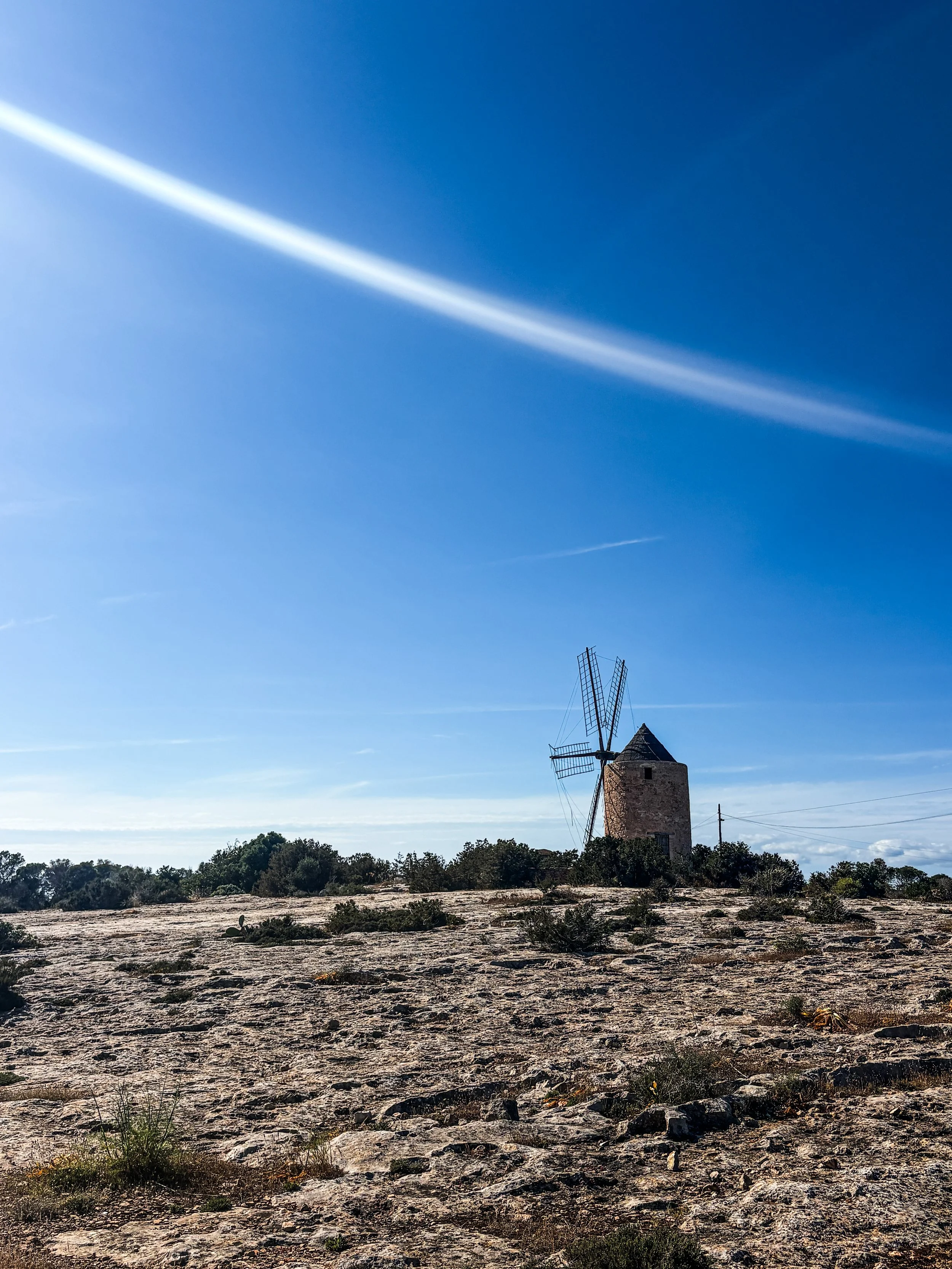
Formentera is perhaps the least known of the Balearic islands, beside the crass and glitzy Ibiza, the English (Mediteranean) county of Majorca, and the elegant and understated little gem of Menorca. This walk is an unofficial route, as we made it up as we went along with a little help from google maps. The anchorage at Soana is rather exposed so you want to be sure the breeze is going to stay in the east or the south for three or four hours while you complete the trek. The track leads through productive farmland, beside dry stone walls enclosing exquisite fig trees, ancient olive groves and small and gnarly vineyards. The town of Sant Francesc Xavier, is pleasant but unremarkable, however a cerveza in the main square under a canopy of vine leaves is sufficient hydration for the four kilometre return journey !
Sivota, Greek Mainland.
Sivota to Vrachonas return
Distance 19.5kms
Elevation Gain 667 meters
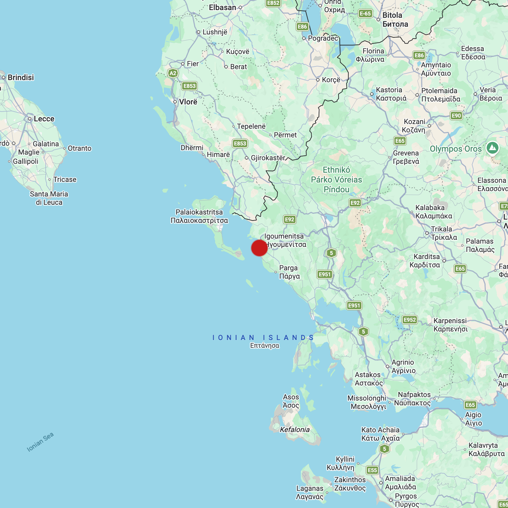
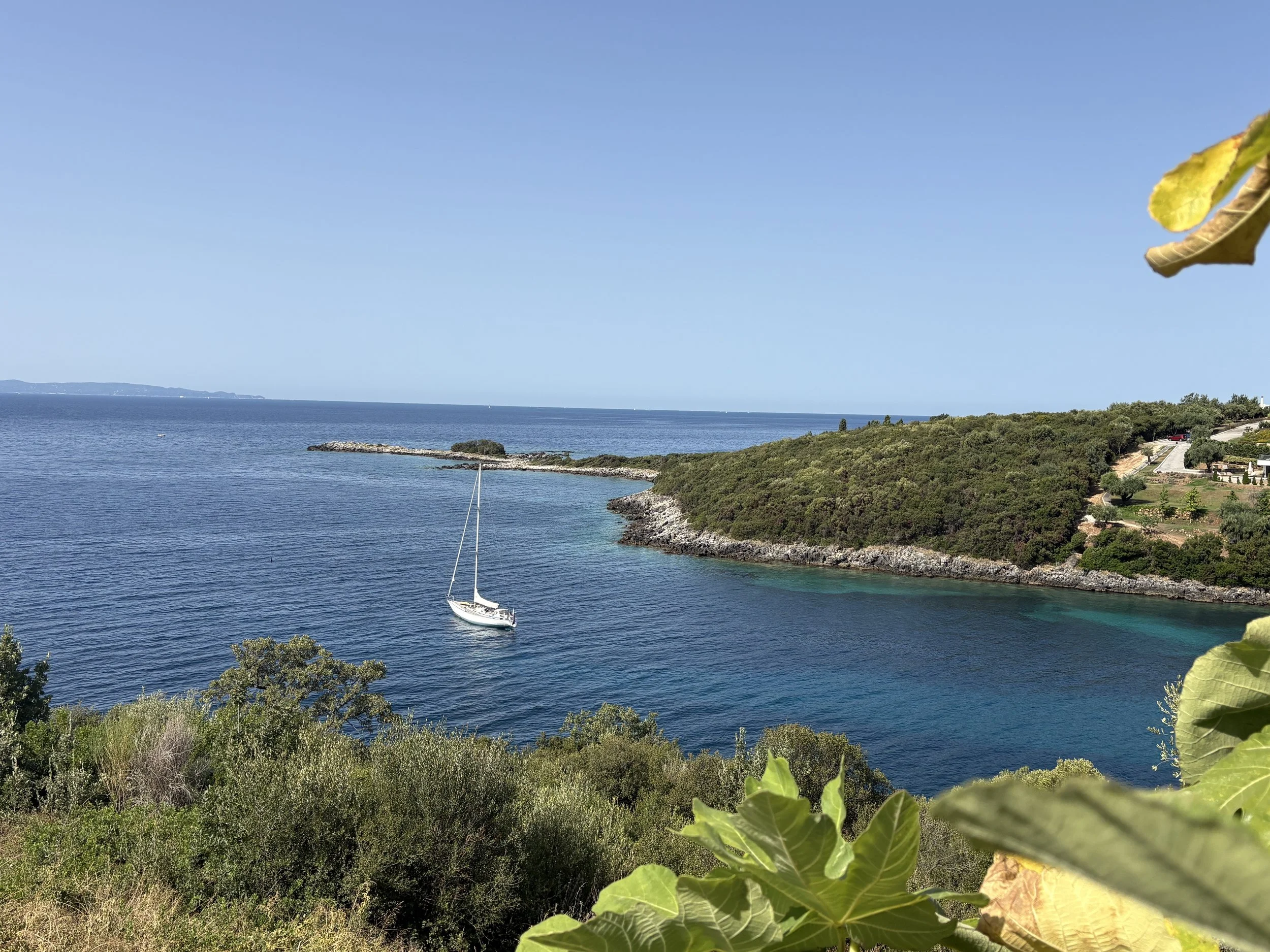
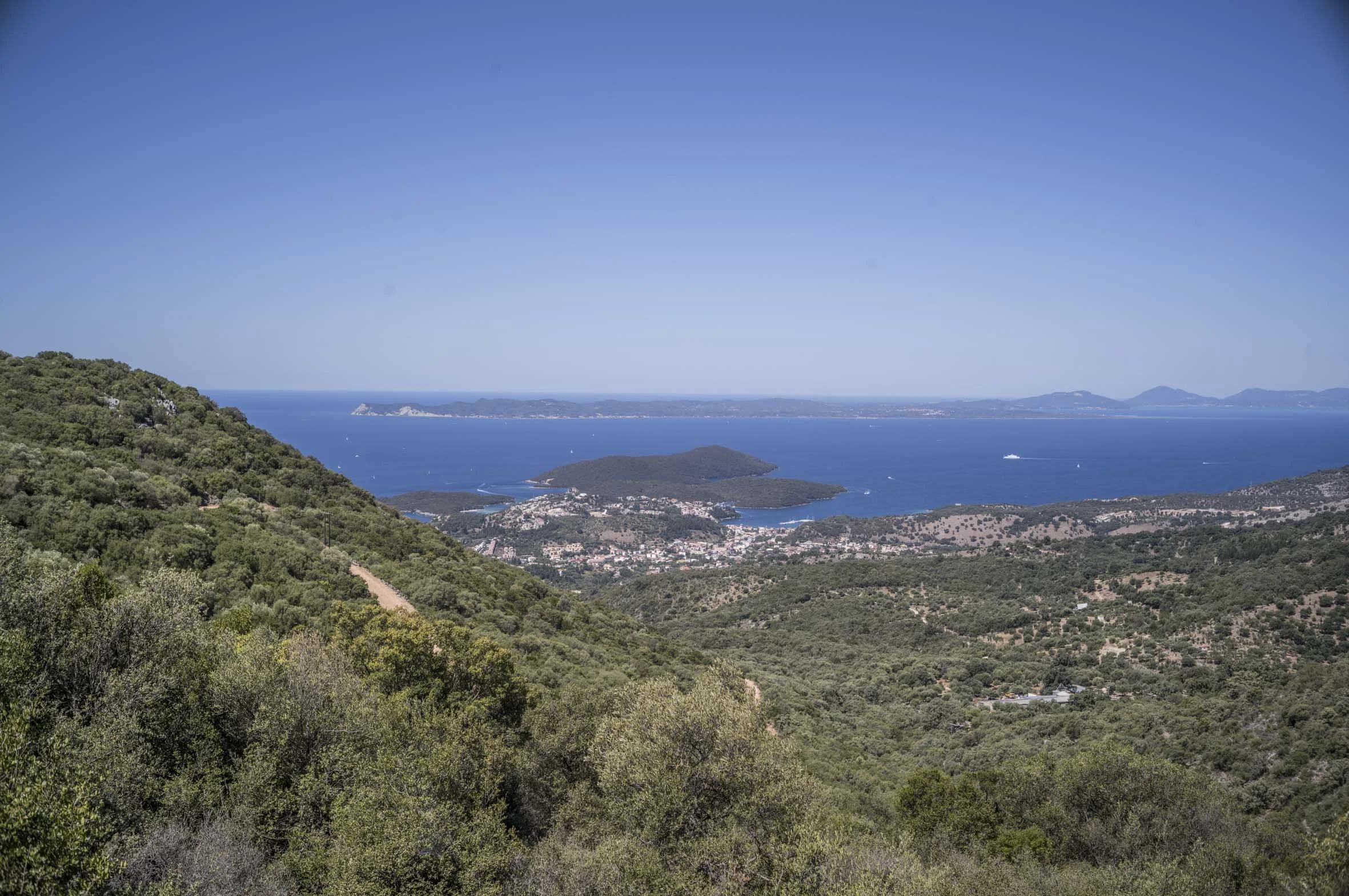
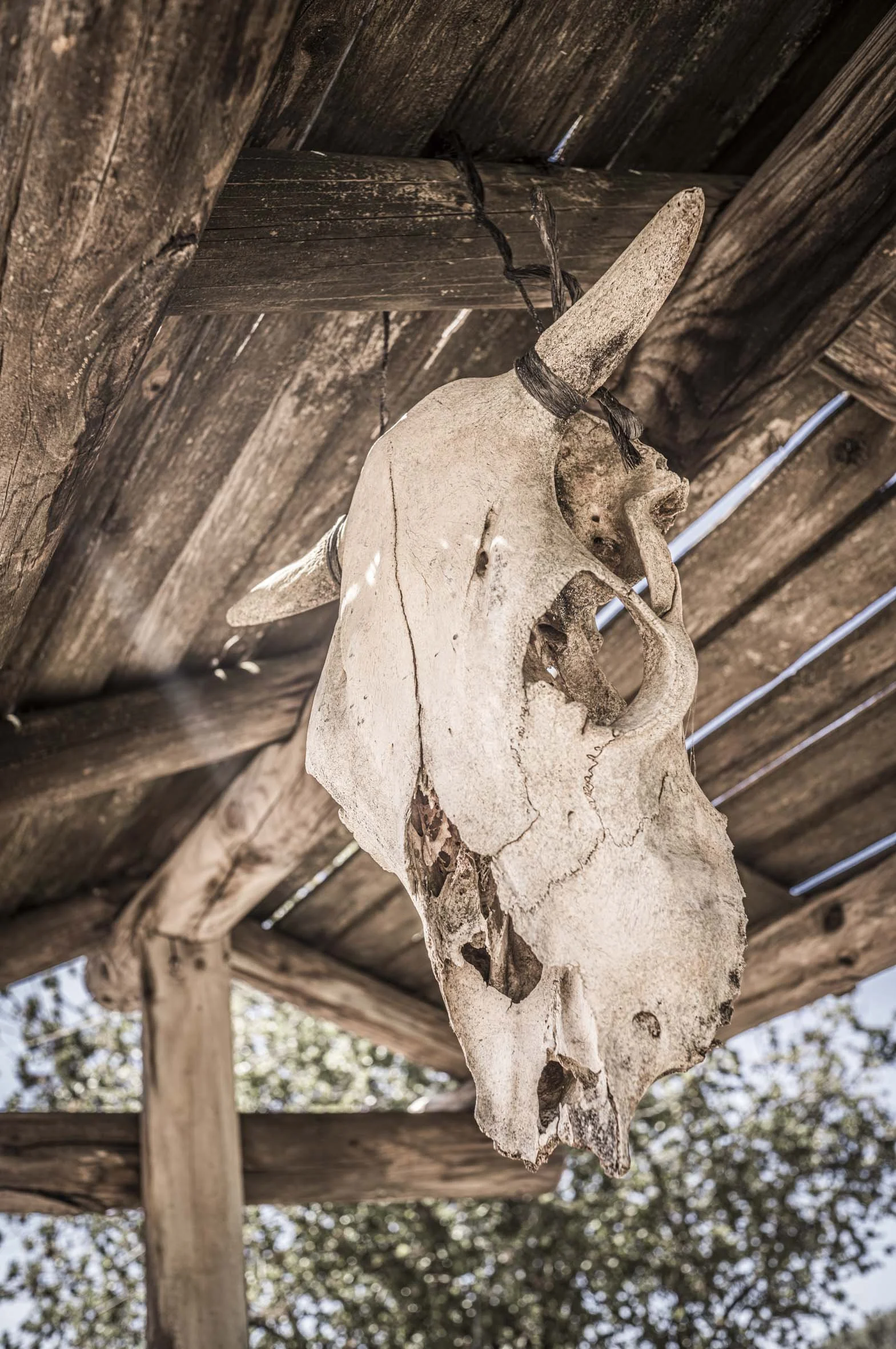
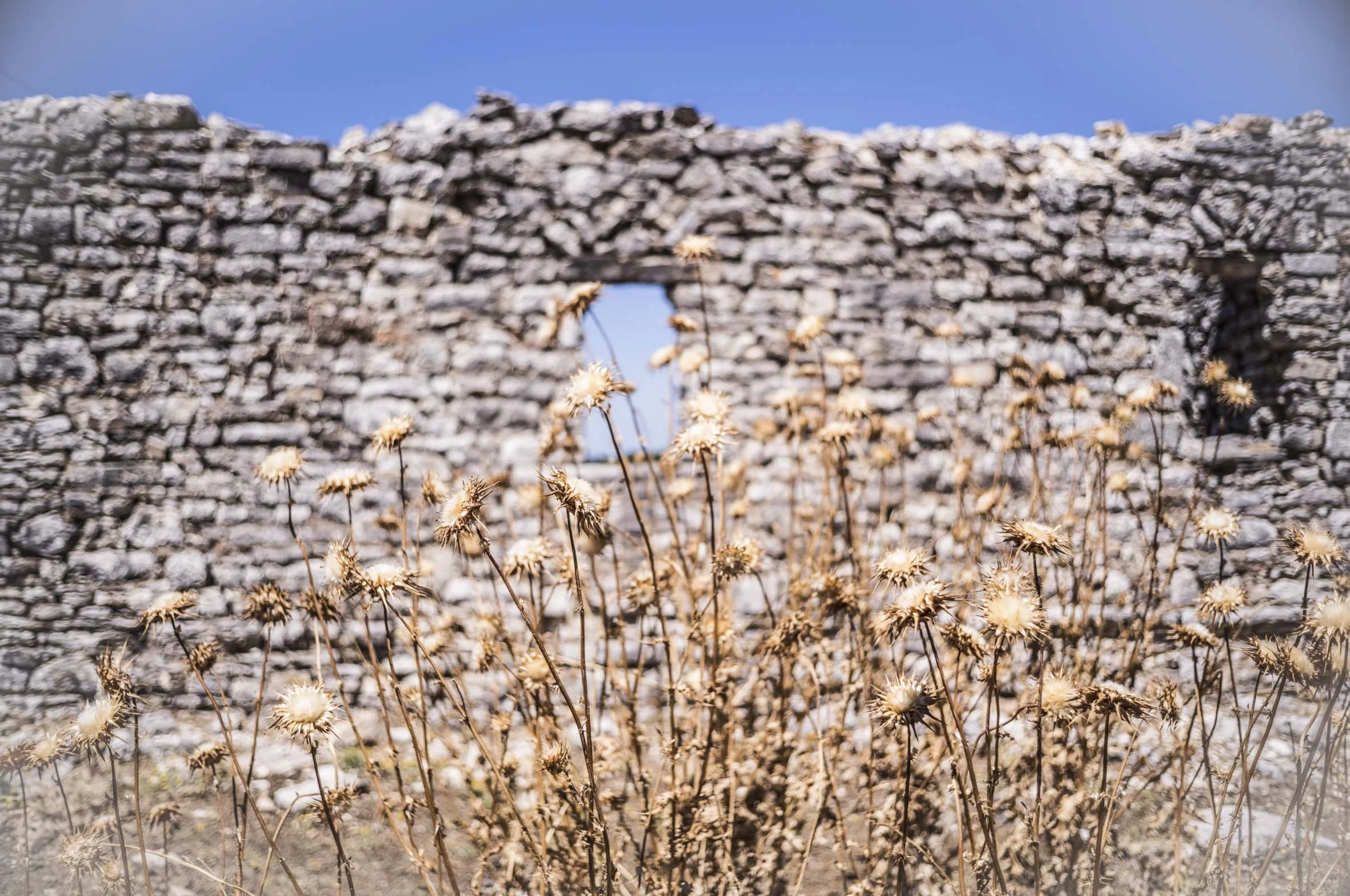
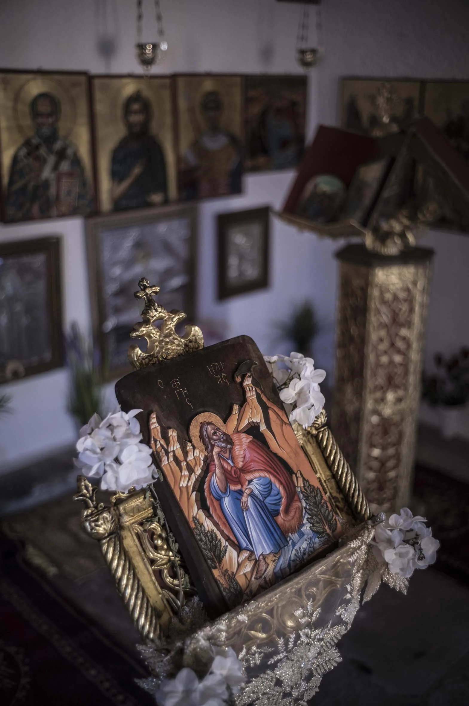
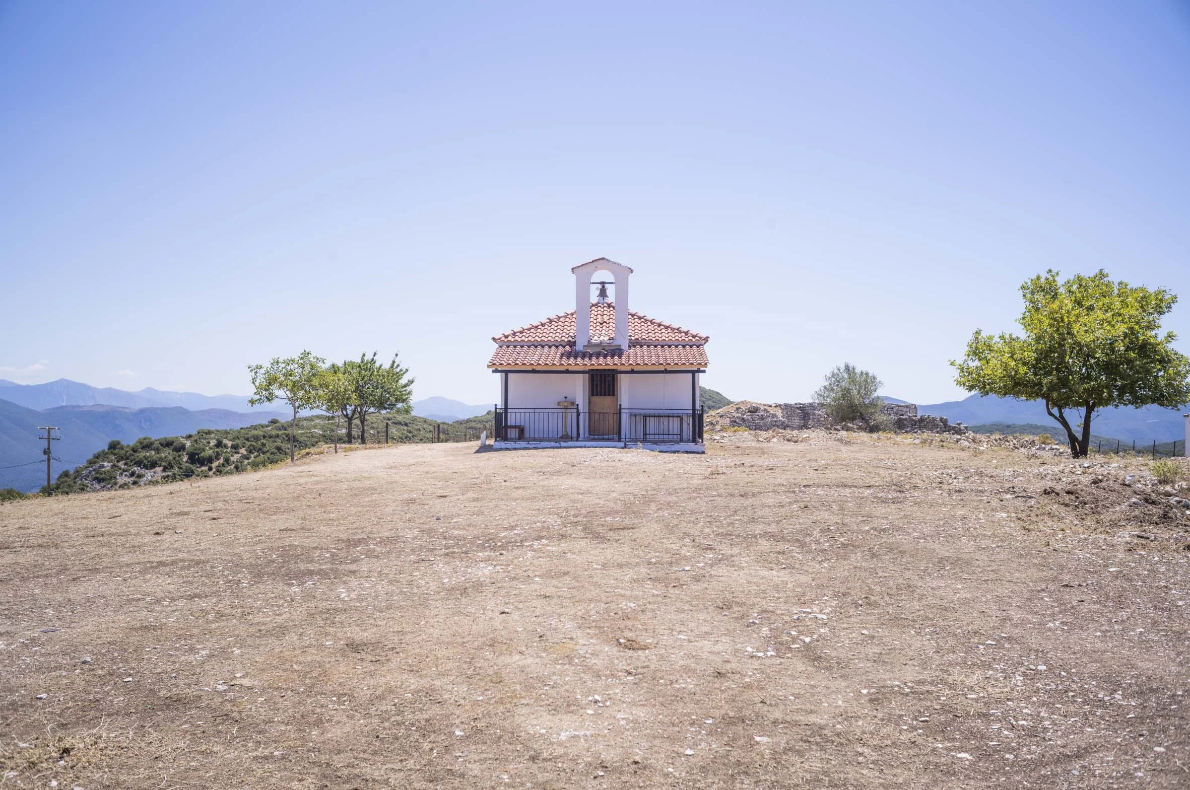
Not far from Paxos on the Greek mainland is the Port of Sivota. There’s no compelling reason to visit, as the harbour is not well protected and the main street is filled with gaming parlours and souvenir shops selling Chinese made landfill. However I was on my own aboard (Sal was working in Rome for a couple of weeks) so with a stiff northerly forecast I found protection just around the corner in a bay called Zavia, After an afternoon of 25 knots, I was confident the anchor was well and truely in, and so I planned a long and challenging walk up to an abandoned village called Vrachonas, in the mountains that tower over the coast. The track up to the village is steep and rough underfoot. Trudging in the heat, it seemed unsurprising that over the years, residents of Vrachonas gradually moved down to Sivota and that the village is now abandoned… but remarkably intact. In the late 1920s, there were around sixty homes and a few hundred residents who lived mainly by farming animals. There seems to be a pattern of this happening in Greece, where mountainous terrain and shifting economic circumstances have driven people out of rural areas. The one building that is still maintained, is a single roomed Greek Orthodox Church, complete with icons. On the way back down the hill, as my legs began to weaken, a family of wild boar rushed out onto the track in front of me, froze, stared, and then trotted off into a stand of Aleppo pines, the little ones taking up the rear. I hope they don’t end up as stifado.
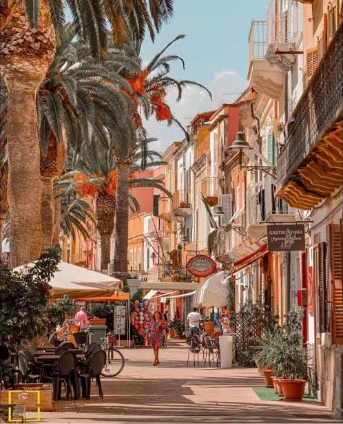
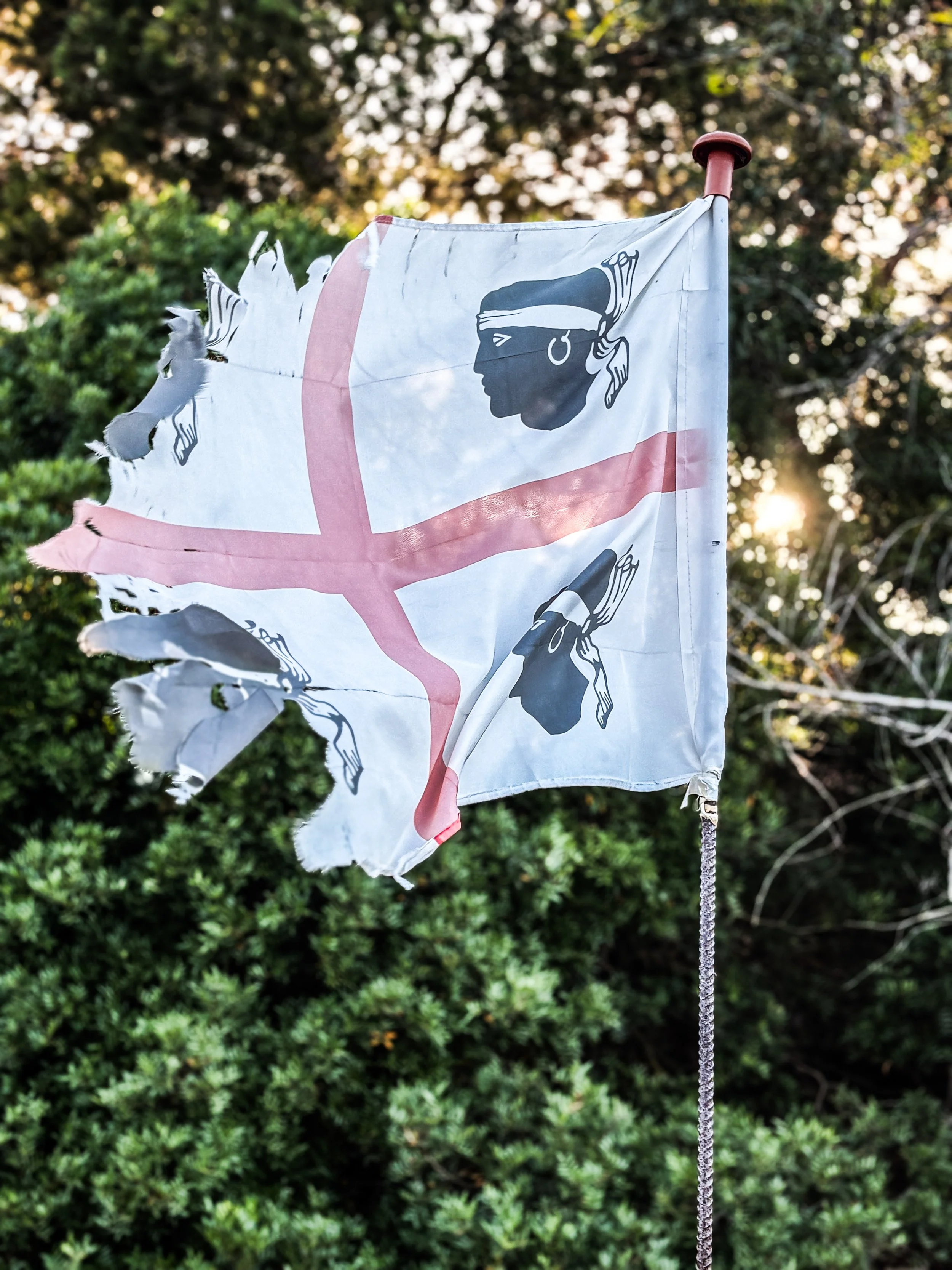
Isola di San Petro, (island off Sardinia). Italy.
Spiaggia Pizzichina to Carloforte Loop
Distance 11.7kms
Elevation Gain 80 meters
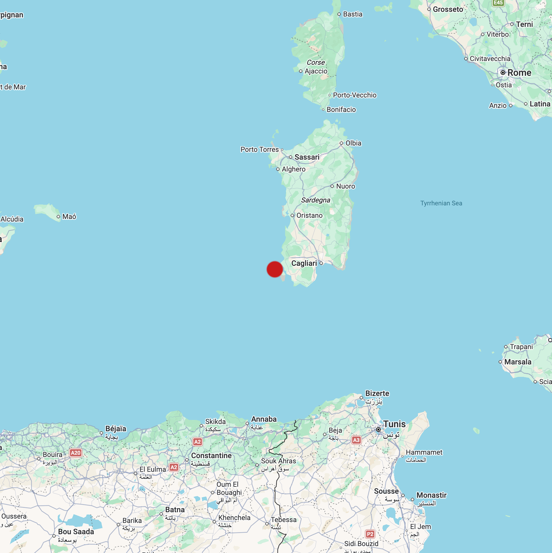
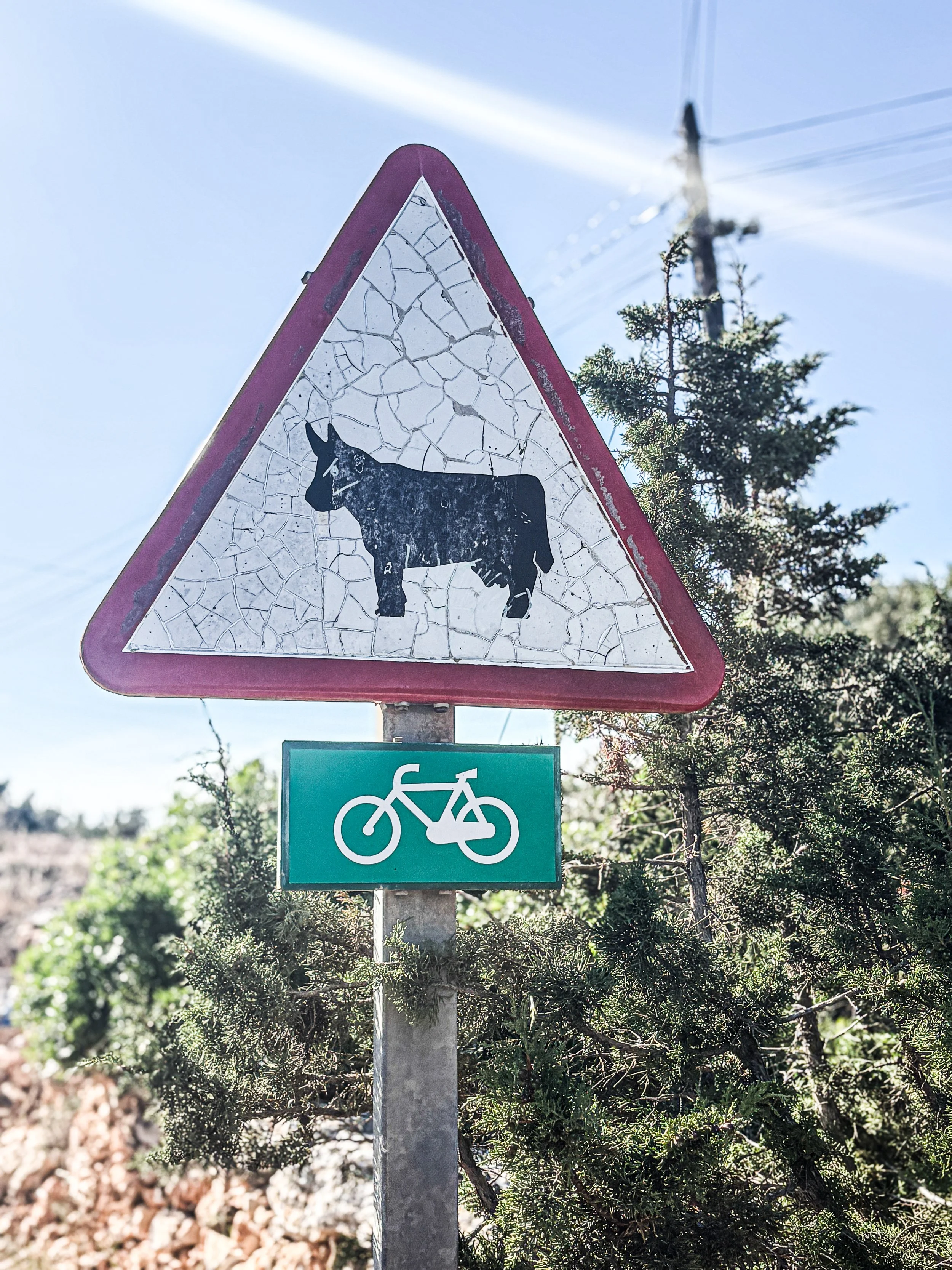
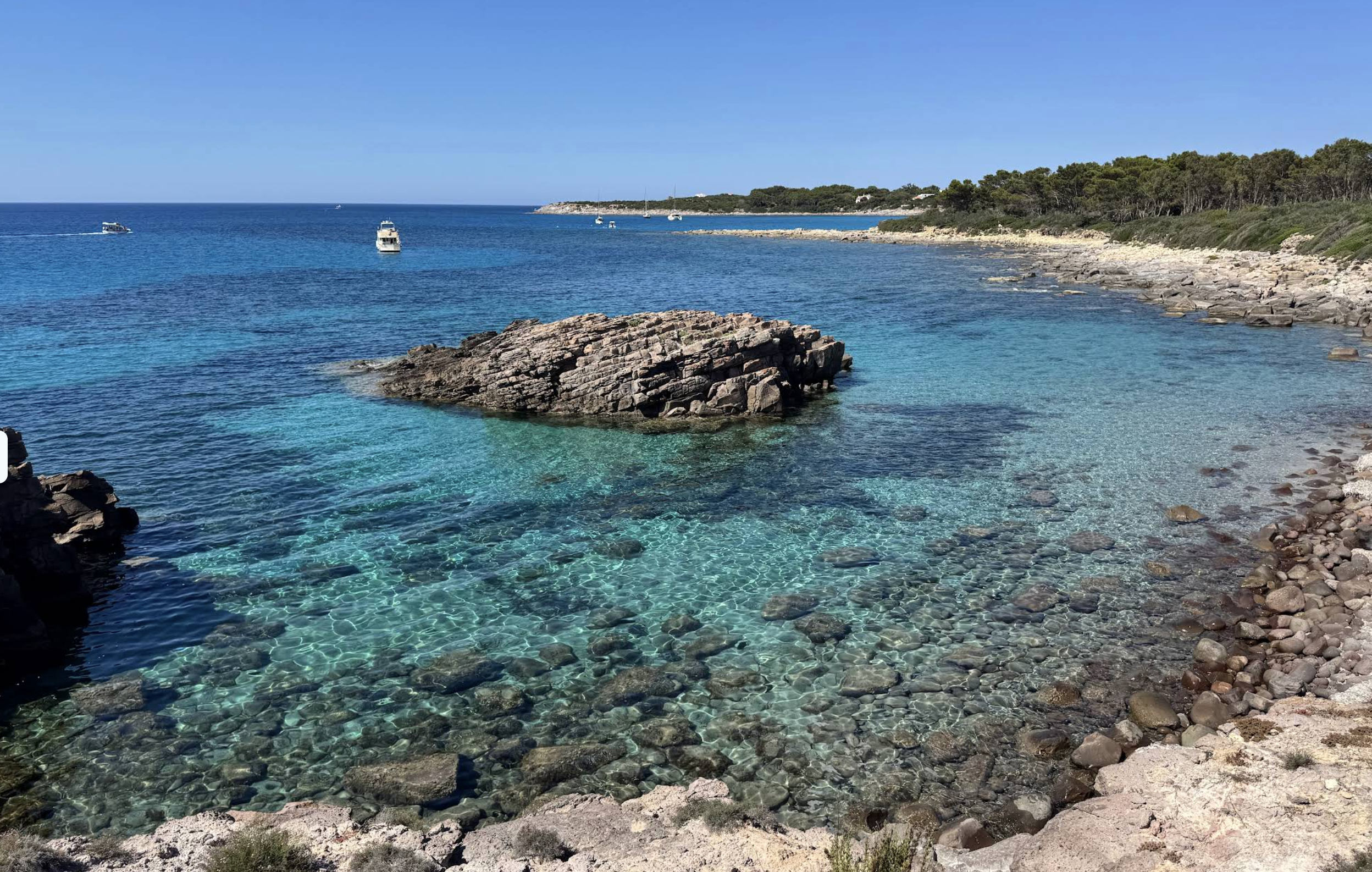
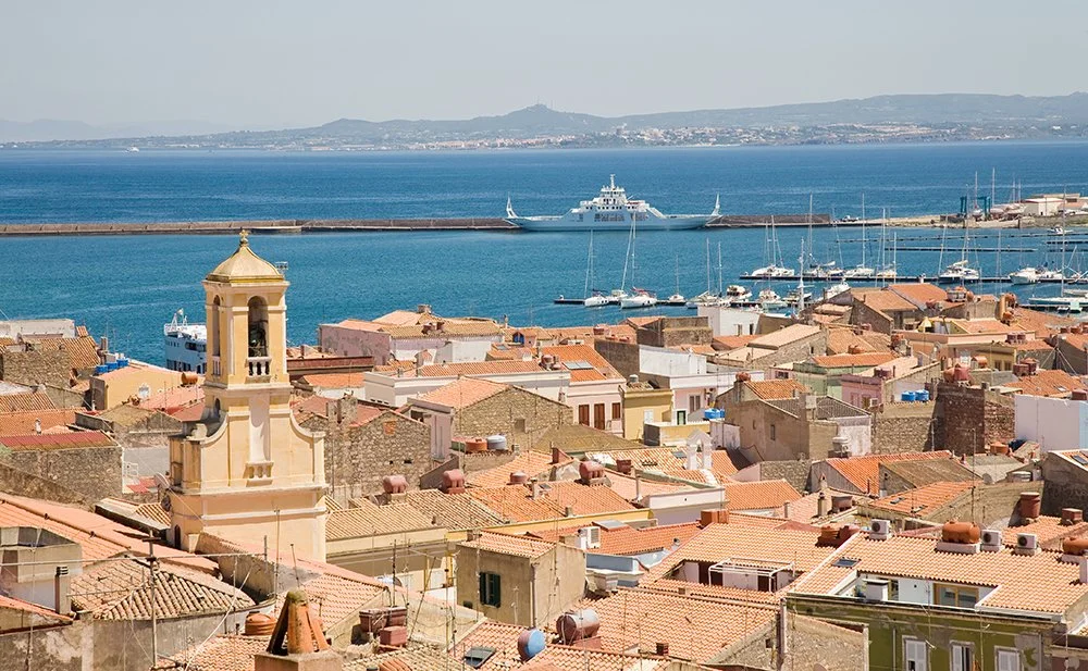
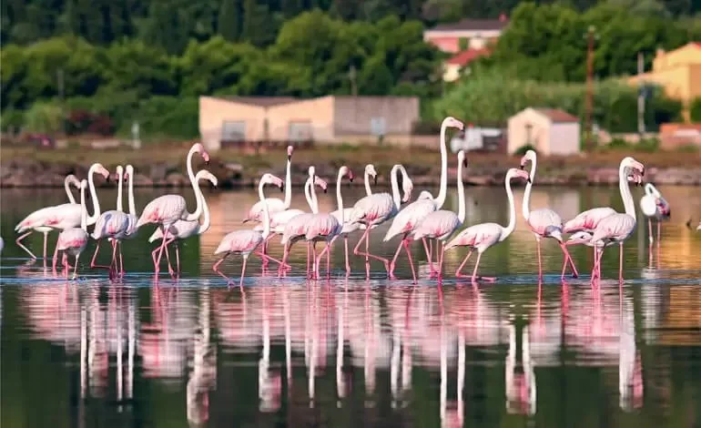
We had a great crossing from Mahon on Menorca to the Southern tip of Sardinia. The wind blew a steady 20-25 knots, just forward of the beam and MATILDA was in her element, averaging 7.5 knots for the 200nm passage. But to be more accurate, it wasn’t to the southern tip, but an Island near there, called Isola di San Petro. After a good night’s sleep, we were keen to explore the town of Carloforte, but reading the pilot book, the harbour seemed uninviting , so we thought we would walk. The northward journey was easy along a narrow but little used road, past a lagoon where the flamingos, strutted their stuff, their pink plumage coming from natural pigments in the shrimp and algae they filter from the water. After a self styled walking tour of this fascinating little working town (I want to go back for longer one day) we decided to make our way back to the dinghy which we had left pulled up on a beach 5kms to the south. I’m always loath to go back along the same track as we came, so I sought out an alternative return route via the west side of the lagoon. That’s where the trouble began. The sun was going down and my concentration was perhaps wavering as the road became a track, and the track became a path, and the path petered out. We found ourselves in a field with a bull. snorting loudly and darkness descending. Push on or turn back? Push on of course! By the time we made it back to the dinghy, we were using the last of the mobile phone batteries on torch mode, and Matilda’s masthead light was a welcome beacon.
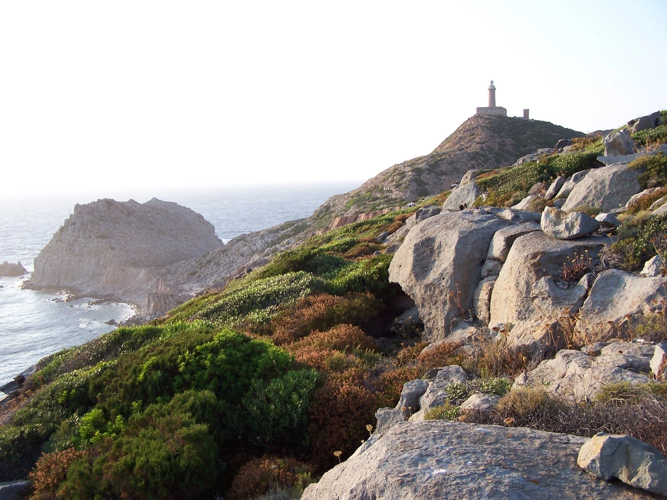
Island of Cabrera, Balearics, Spain.
Es Port to Col Roig Return
Distance 7.4kms
Elevation Gain 460 meters
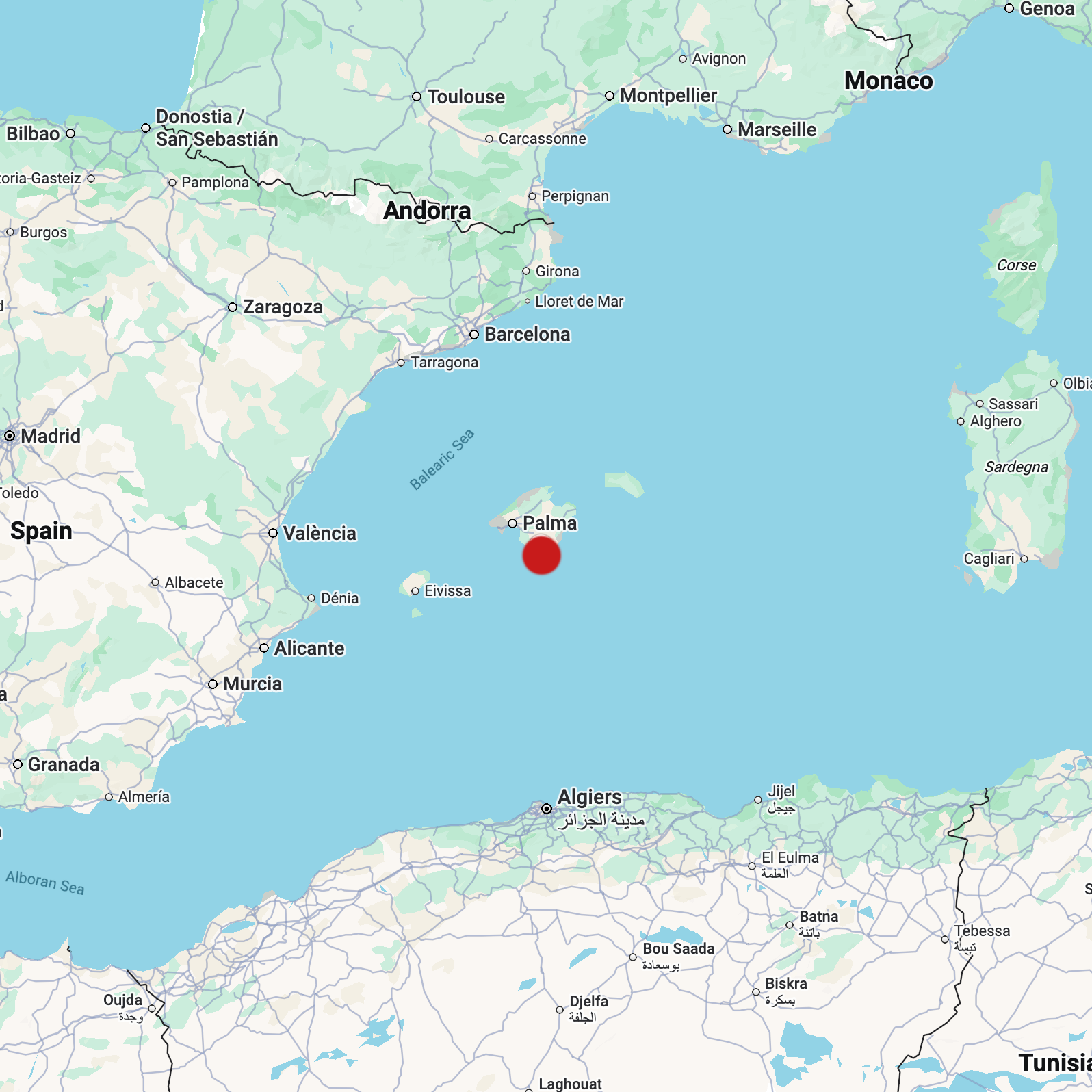
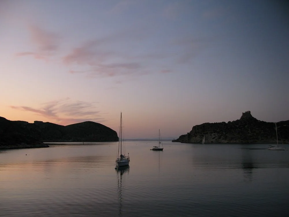
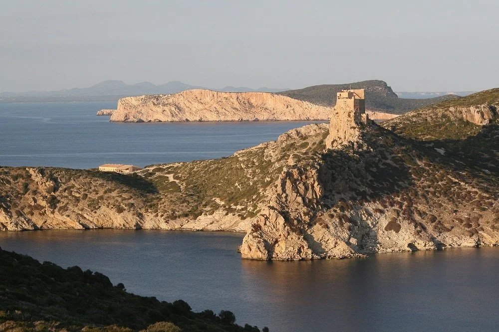
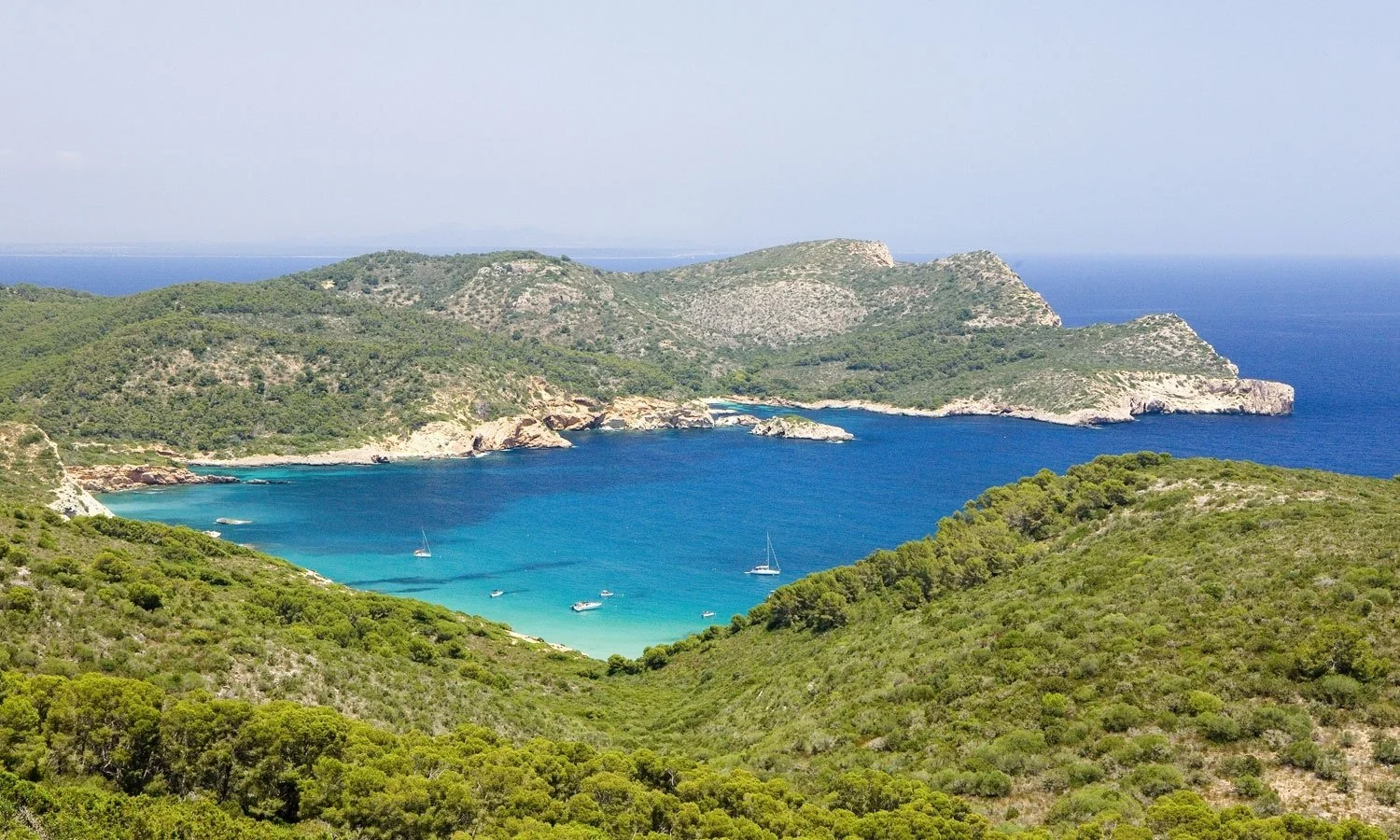
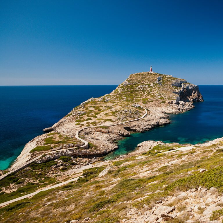
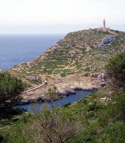
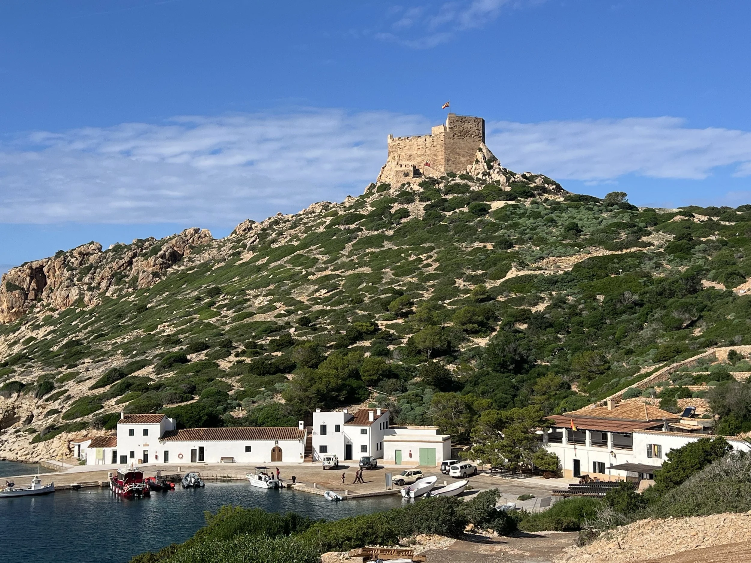
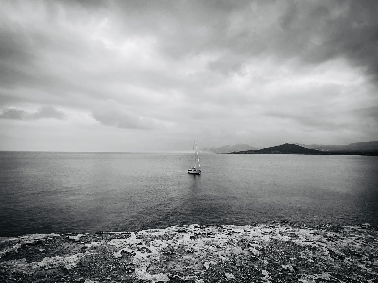
Cabrera Island is is the largest of an archipelago of 19 islands and islets lying about 10 km off Mallorca’s southeast coast. Pliny (AD 50 approx) claimed it as the birthplace of Hannibal, and a 14th-century castle still guards its harbour. Its best-known and darkest chapter came during the Napoleonic Wars, when it became a notorious prison camp, holding thousands of French prisoners captured after the Battle of Bailén in 1808, many of whom died of hunger and exposure. It became a National Park in 1991 and access is strictly controlled. Private boats need a permit to visit and anchoring is forbidden in order to protect the seabed, so mooring buoys must be booked in advance. It was November by the time we arrived, and a chilly 25 knot north easterly was blowing rainclouds across the harbour. But having the security of a mooring buoy, we left the boat happily, rowed into the small port and set out to the south along a marked track to Col Roig. We tramped through a pine forest, past the ruins of a 2000 year old Byzantine monks settlement, past the huts of the afore mention French soldiers and on, up a valley to the Col Roig with its magnificent view to the lighthouse on the south west corner of the Island. Returning along the same route (we had no choice as keeping to the existing paths is a rule that’s enforced!) we stopped for a picnic lunch of soup from a thermos and cheese and biscuits, and watched MATILDA bobbing patiently at her mooring awaiting our return.